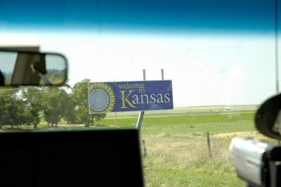
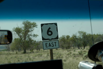
June 21, 2006 – Day 4 Summary - More Frustration
Summary
- Photo Gallery
- Trip meter: Beats me
- From: Ogallala, NE to Great Bend, KS
- Summary: Intercepted a squall line; watched a nice lightning show after dark
Realtime Updates
11 AM – Goooood morning
Good morning from the wonderfully-named Ogallala, NE (yes, we’re still in NE). The Dodd City, Kansas balloon sounding is a textbook “loaded gun” sounding. I love it. We are headed to Colby, KS (!) to assess the situation, and then either head west or east depending on which setup Roger likes better.
Shorter-Than-Usual Long Summary
I’m exhausted, so this is going to be quick. There were three major plays for today: north-central Nebraska, central Nebraska, and northeastern Colorado. Nebraska had tons of instability (3000+ J/kg of CAPE) and moisture, and a little bit of shear. Colorado had upslope flow going for it, and lots of shear, but not so much moisture and a massive cap.
We went south and then west to lunch at Twister’s Bar and Grill in Colby, Kansas (“Just across from the big blue water tower!”) and make a choice. We finally decided to blast east to meet up with the boundary spreading across the center of the state. In fact, conditions were so good in this area that the cap broke all at once and all the good-looking storms quickly formed a linear, outflow-dominant system. Blast.
We drove south through the line of storms and ended up on the south side, and stopped briefly to watch an embedded meso with a massive wall cloud propigate over our heads. It didn’t last long, and we then went back north up to Great Bend to get our hotel.
Roger and I, instead of going for dinner at Perkin’s, grabbed McDonald’s and drove east a few miles outside of town in order to get some lightning video and stills. We got some good ones of lightning striking a radio tower (see below).
Of course, back in northeast Colorado, many individual supercells formed three hours after we left. They quickly became tornado-warned for the rest of their lives. Despite this, there was only one confirmed tornado report from an NWS employee, and it was likely a landspout-type tornado.
Final Thoughts
- Note to self: try not to get camera gear so wet next time; condensation inside the lens is no fun.
- Chasing is such a learning experience; I learn new strategies each day. I love it.
- 2006 strikes again. Blah.
Audio
- 4:03 PM –
- 8:08 PM –
Photos
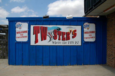
Probably the only twister we’ll see this week.

This was the scene in the early afternoon as we approached the boundary from the west. Too bad there was too much of this around.
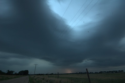
This was one supercell we caught up with underneath all of that linear crap. It had an ominous wall cloud for a while, but then it quickly dissipated. Blah.
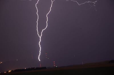
This is ground-to-cloud lightning forking up from a radio tower. I got a handful of shots like this.
